Data centres from orbit: waste heat, expansion and site in view.
Satellite-based analysis of data-centre sites, heat signatures, construction progress and waste-heat potential for operators, developers and municipalities.
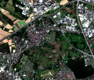
What the analysis shows. Without site access.
Make waste heat visible
Heat signatures of roofs and cooling plant over time, an indicator of operating load and released heat.
Plan waste-heat reuse
Match waste-heat sources with the heat demand of nearby districts, a basis for heat networks and heat plans.
Track expansion
Document new halls, extensions and construction progress at your own or other sites, regularly.
Assess sites
Compare land, surroundings and heat exposure of potential sites before you invest.
From satellite image to waste-heat report.
Recurring optical and thermal imagery of the site and its surroundings.
Heat signatures, change and surroundings are combined with context data.
Trends, anomalies and reuse potential, documented and comparable.
One site. Three perspectives.
Operators
Keep your own and comparable sites in view; evidence your waste-heat potential.
Municipalities & utilities
Include data centres as heat sources in heat plans and heat networks.
Investors & developers
Compare sites and follow expansion and market development.
Germany's Energy Efficiency Act (EnEfG) requires data centres to reuse and report their waste heat; the Heat Planning Act (WPG) counts unavoidable waste heat as a heat source. Our analyses provide an independent, repeatable data basis for both.
Frequently asked questions
Start with one site.
We analyse a data centre of your choice and its surroundings, heat signature, development and waste-heat potential in one report.