Deforestation analysis: defensible evidence for EUDR and supply chains.
Land-use change across up to 30 years, month by month, clearly separating deforestation from regular forestry.
Forest · HarzLatest pass
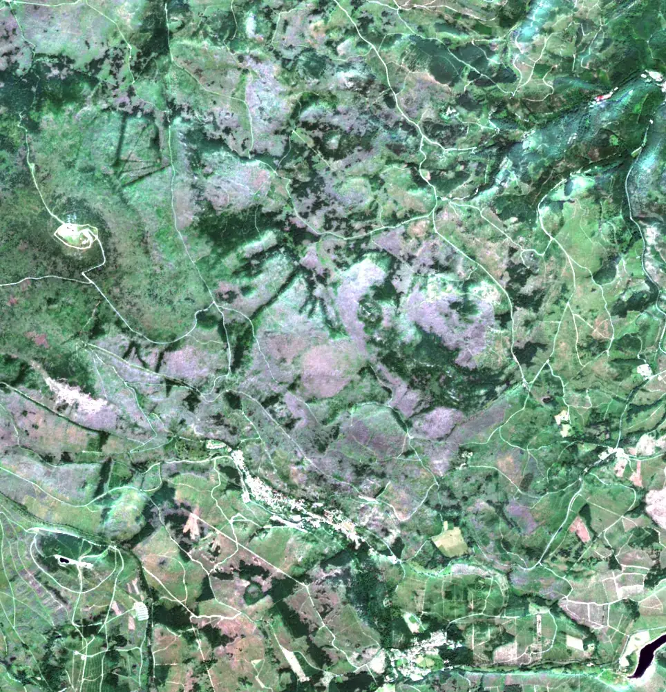
Sentinel-2 · 10 m · 13 Aug 2025
Deforestation-free is hard to prove.
Missing evidence leads to compliance risk, blocked shipments and costly manual checks.
- 01
Incomplete history
Short baselines and annual snapshots can't demonstrate long-term deforestation-free sourcing.
- 02
Ambiguous signals
Harvest cycles, regrowth and seasonal variation are often misclassified as deforestation.
- 03
No traceable sources
Alerts without transparent data don't pass audits or regulatory review.
Automated deforestation analysis from orbit.
Process
1
Observe
Multi-year satellite imagery for your defined areas.
2
Detect
Land-cover change using validated global datasets and models.
3
Compare
Monthly time series against historical forest baselines.
4
Prove
Documented results for compliance, audit and supply chain.
Standard approach vs. Solain.
Standard approachSolain
Historical coverageShort baseline, annual dataUp to 30 years, monthly
ClassificationGeneric deforestation alertsClear split between deforestation and forestry
TraceabilityLimited transparencyFully documented, validated sources
Frequently asked questions
EUDR · supply chain
Check your supply chain for deforestation risk.
We analyse your sourcing areas and deliver a documented land-use history.