Reliable satellite reports for industry and municipalities.
On your sites and areas. Always current, ready to use.
- Ports & terminals
- Mining & raw materials
- Recycling & scrap
- Data centres
- Forestry & supply chains
- Cities & municipalities
- Energy & utilities
Critical decisions. Still made on outdated data.
- 01
Data goes stale
Reports are months old when they arrive.
- 02
Site visits don't scale
Costly, slow and only a fragment.
- 03
Evidence needs history
Decisions need trends over years.
Two mandates. One data foundation.
One platform, shaped to the decisions in your field.
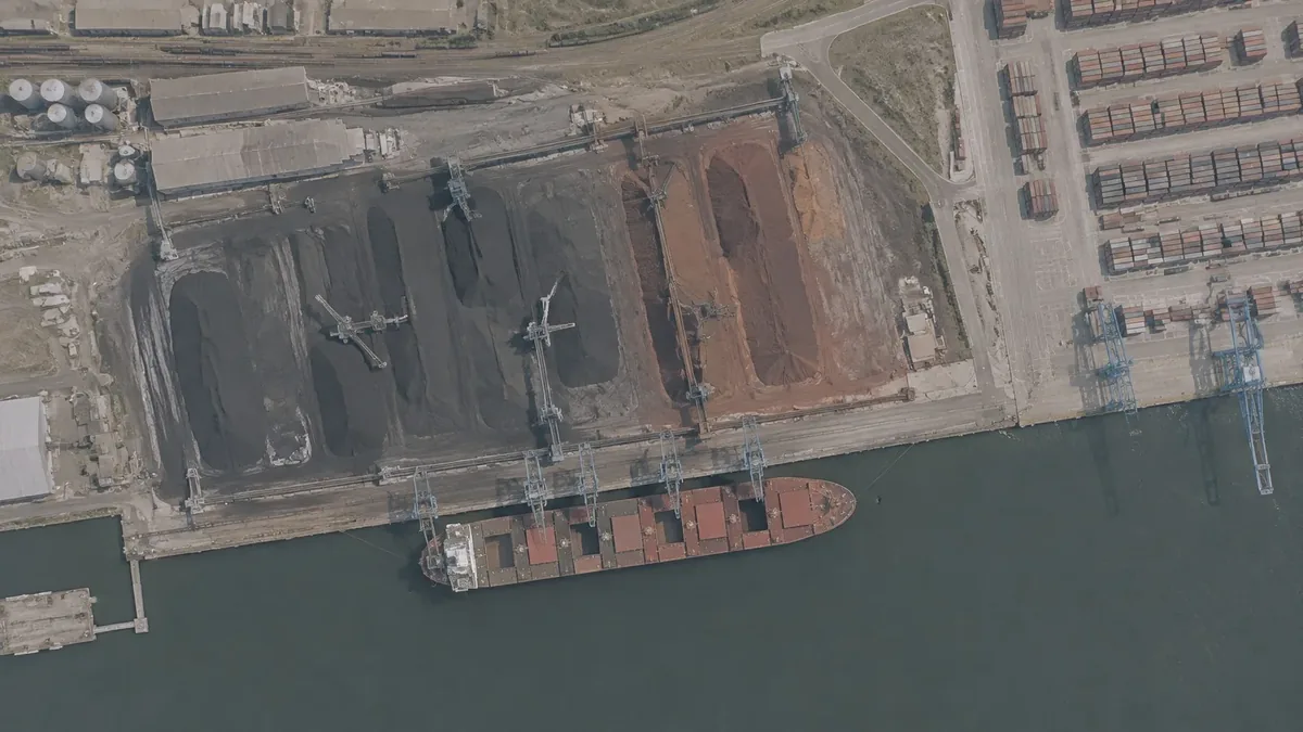
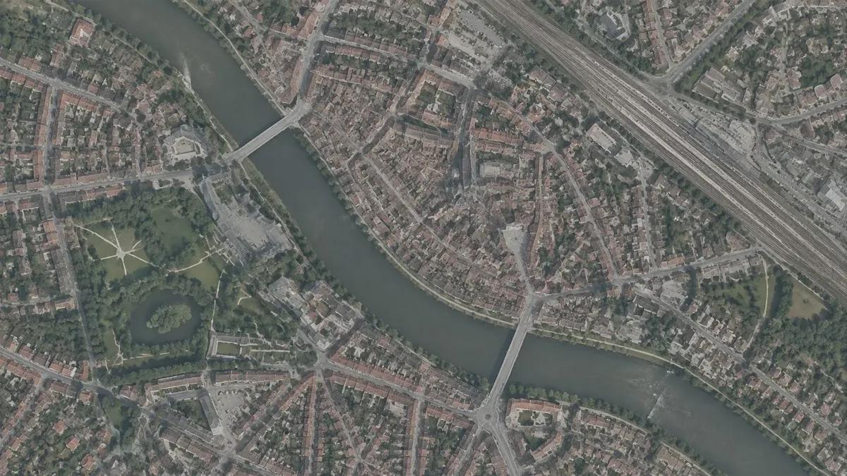
One platform. Many signals. One report.
Finished reports: analysed, checked, ready to use.
01 · Inputs02 · Analysis03 · Outputs
Satellite imagery
Optical · thermal · radar
Multi-source signals
AIS · buildings · geodata
Contextual data
Market · prices · planning
SOLAIN
Per-pass classificationTime series & trend
Operational visibility
Every site at a glance
Predictive alerts
Early signals
Defensible evidence
Documented · comparable
01 · Inputs03 · Outputs
Satellite imagery
Optical · thermal · radar
Multi-source signals
AIS · buildings · geodata
Contextual data
Market · prices · planning
SOLAIN
Per-pass classificationTime series & trend
Operational visibility
Every site at a glance
Predictive alerts
Early signals
Defensible evidence
Documented · comparable
Change detection, heat patterns, building metrics and volume measurement, all from satellite data.
Always current. Fully documented.
Updated continuously, comparable across years.
Forest · HarzLatest pass
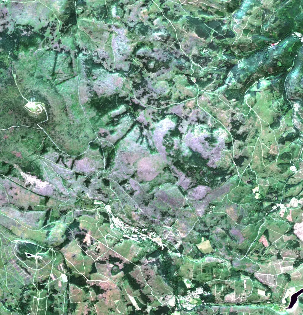
Sentinel-2 · 10 m · 13 Aug 2025
See changes as they happen.
Our partners.

heatbrAIn
Heat-data partner

BRYCK Startup Alliance
Startup alliance & accelerator

southwestX
Innovation partner
Frequently Asked Questions
What always holds
- Full coverageWhole sites and whole cities.
- RecurringUpdated weekly to monthly.
- No hardwareNo sensors, no site visits.
- EU hostingGDPR-compliant, DPA on request.
Pilot · 4 weeks
Try SOLAIN on a use case of your own.
Pick an area. First report in four weeks.